Resources for students
News and events
The latest SES news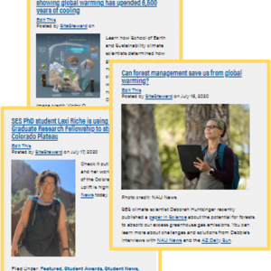 Follow us on Facebook, Instagram, and Bluesky!
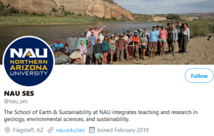
School of Earth & Sustainability
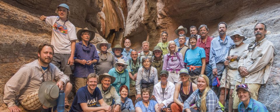
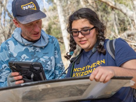
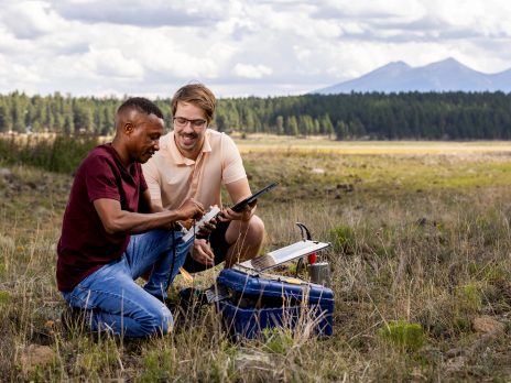
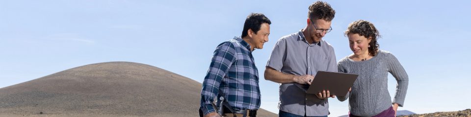
Integrating physical, biological, and social perspectives on our changing earth: At Northern Arizona University, we train undergraduate and graduate students to be leading researchers and practitioners in geology, environmental sciences, and sustainability, often collaborating across disciplinary boundaries. Our students spend time learning in the field, working on cutting-edge research, and collaborating with agencies.
Explore our degrees
We offer undergraduate degrees and minors in Geology, Environmental Sciences, and Environmental & Sustainability Studies, as well as a minor in Climate Science.
We offer Master’s programs in Geology, Environmental Sciences & Policy, and Climate Science & Solutions, and a PhD program in Earth Sciences & Environmental Sustainability.
Explore our professional certificates
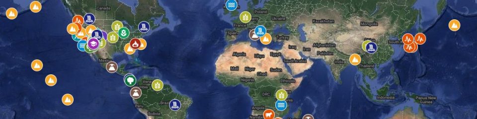
Explore research across the School
SES commitment to supporting all students
In SES, our community is committed to nurturing an environment where people of all backgrounds are welcomed and treated with equity and respect. We are committed to removing barriers and entrenched dynamics that often prevent participation from underrepresented groups in STEM fields and to take every opportunity to highlight and make visible the contributions of all members of our community. Our efforts include a broad array of initiatives and goals, which are listed in Student Resources page.
SES in the news
For more news (with photos!) about our faculty, students, and alumni, see our News page.
The latest:
Meet with SES student ambassadors!
SES graduate programs ranked in top 100 in US News and World Report
Listen to a KNAU story on life in Antarctica by NAU SES student Clare Gibson
Join us for an expert panel at the Annual Student Water Symposium on the Freshwater Challenge, April 11
Recent publications
Alumni
Connect with colleagues and NAU